
Assess geometry and semantics
Analysis of geometries, semantic structures, coordinate reference systems and exchange formats, particularly for CityGML, CityJSON, point clouds, raster data and PostGIS.
Oliver Förster · Geoinformatics · 3D geospatial data · Geospatial services
I design and implement custom solutions for spatial data. My work focuses on semantic 3D city models, CityGML, Python-based GIS methods, and standardised or application-specific web services.
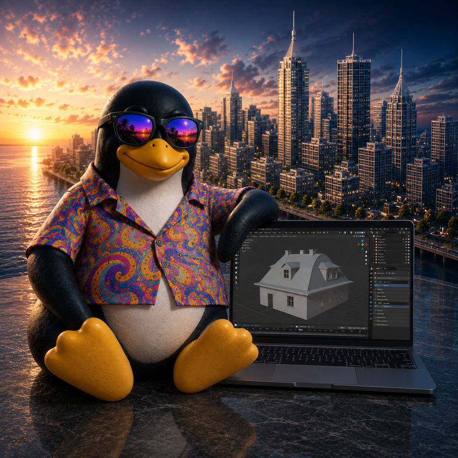
Professional focus
My work combines the domain-specific analysis of spatial data with technical implementation. The data model, geometry, coordinate reference system, semantics, interfaces and operating environment are considered as a coherent system.
For tasks that cannot be addressed adequately with existing standard tools, I develop specialised Python, GIS and 3D applications. This includes data conversion, validation, spatial analysis, geometric processing, texturing and automated quality assurance.
Experience in Linux, web and systems administration enables me to package, secure, monitor and deploy processing methods in a defined and reproducible operating environment.
Areas of work
Technical solutions are derived from the domain data model, intended use cases and verifiable quality requirements.
Analysis of geometries, semantic structures, coordinate reference systems and exchange formats, particularly for CityGML, CityJSON, point clouds, raster data and PostGIS.
Development of reproducible workflows, Python applications and extensions for QGIS and Blender, including validation, error handling and automated testing.
Delivery as a web application, programmatic interface or WPS, taking account of access control, logging, resource limits and monitoring.
Web Processing Service
I develop custom WPS processes and Python-based geoprocessing services for recurring or computationally intensive tasks. Inputs, parameters and domain constraints are validated explicitly; processing and output follow defined, reproducible rules.
Depending on the task, I combine PyWPS, QGIS Server, QWC, PostgreSQL/PostGIS and standalone Python modules. The technical implementation includes authentication, logging, resource limits, temporary storage, cleanup and monitoring.
3D geospatial data
The workflow is defined as a continuous processing chain from initial assessment to delivery. Domain and technical checks are applied at every processing stage.
Review of the data model, level of detail, semantics, georeferencing and geometric consistency.
Import, conversion, modelling, texturing and derivation of supplementary geometry.
Validation, error analysis, defined fallback procedures and traceable processing.
Export to standardised formats and integration into databases, web services and visualisations.
Technical focus
Open-source components and open standards are preferred. Existing proprietary environments are integrated where required by the data flow, interfaces or system landscape.
Working method
Technical decisions are based on explicit constraints, representative data and reproducible tests.
Complex tasks are divided into verifiable subproblems, data flows and interfaces.
Prototypes are evaluated early using representative datasets and known edge cases.
Data quality, runtime, memory use and error tolerance are improved against defined criteria.
Configuration, dependencies, logging and reproducibility are part of the delivered solution.
Contact
I am available by email for enquiries concerning geodata, 3D GIS, CityGML, automation or Web Processing Services.